Streams and rivers are expected to rise beginning Friday afternoon and into the weekend, as forecast rain and warmer temperatures melt the snowpack, Upper Thames River Conservation Authority (UTRCA) says.
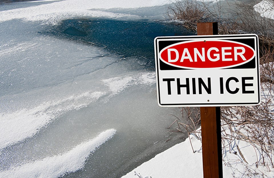
With March Break underway and people out and about for St Patrick’s Day events, the UTRCA wants to remind everyone to stay away from all watercourses and stay off of frozen water bodies.
Banks adjacent to rivers and creeks are very slippery and, when combined with cold, fast-moving water, pose a serious hazard, UTRCA said in a news release.
Any ice cover will be weakened and unstable meaning the public should exercise extreme caution and stay off all frozen water bodies. Flood control reservoirs will be especially hazardous due to fluctuating water levels.
A low-pressure system moving into the province will bring above freezing temperatures and 20 to 25 mm of precipitation by Friday afternoon.
A watershed wide snow survey conducted Wednesday measured an average of 70 mm of water equivalent, ranging from 100 mm north of Stratford, to 75 mm in London and Woodstock.
The incoming weather conditions will begin to melt this snowpack and water levels in streams and rivers will respond to the runoff from the rain and melting snow.
The UTRCA expects water levels to remain above normal over the weekend. However, serious flooding is not expected at this time.
The UTRCA’s flood control reservoirs at Fanshawe, Wildwood, and Pittock Conservation Areas are at seasonal levels and will be operated to reduce downstream flooding if required, the conservation authority said.


